Spatial Intelligence and Environmental Analytics Lab
Department of Geomatic Engineering & Geospatial Information Systems, JKUAT — Nairobi, Kenya
SIEAL builds and operates measurement infrastructure for marine habitats and biodiversity. Imagery and Earth observation data go in. Habitat classifications, standardised biodiversity metrics, spatial distribution and hotspot analyses come out — as maps, with documented provenance and stated uncertainty. The pipeline was built and published on deep-sea imagery from the Pacific and the tropical Atlantic. We are now applying it to Kenya’s mangroves and coastal waters.
Carbon finance already reaches Kenya's mangroves; biodiversity finance does not. The credit and disclosure frameworks were largely designed for forests on land, and marine and coastal systems have no established way to be measured against them. That measurement is what we build. We structure our outputs to meet Verra VM0033, TNFD, the GRI Biodiversity Standard and CSRD, so that what we measure can be used in practice — not just published.
What the record looks like
- Four first-author papers in Nature Portfolio journals — Scientific Reports (2022, 2023, 2025) and Scientific Data (2023) — on automated seafloor classification, megabenthic fauna detection and analysis-ready underwater imagery
- Two ocean basins. The workflows were built in the Clarion–Clipperton Zone in the Pacific and shown to transfer to the tropical Atlantic, a different basin and geological setting
- Open methods. Classification and detection pipelines released as software; the underlying image dataset archived at PANGAEA
- Operating infrastructure. A GeoNode data portal, PostGIS and GeoServer services, and GPU compute for model training
This work was carried out by the lab’s director at GEOMAR Helmholtz Centre for Ocean Research Kiel, before SIEAL was established. It is the technical foundation the lab now builds on. See Publications.
Two settings, one pipeline
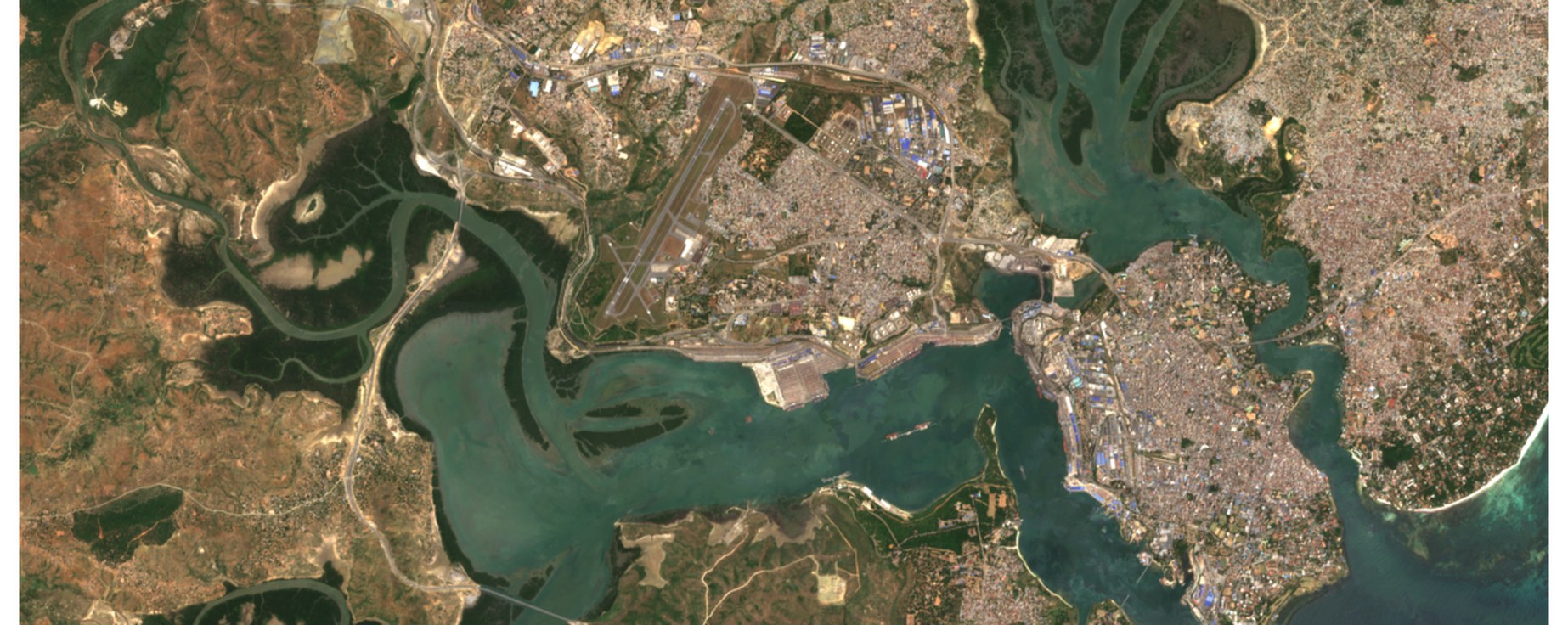
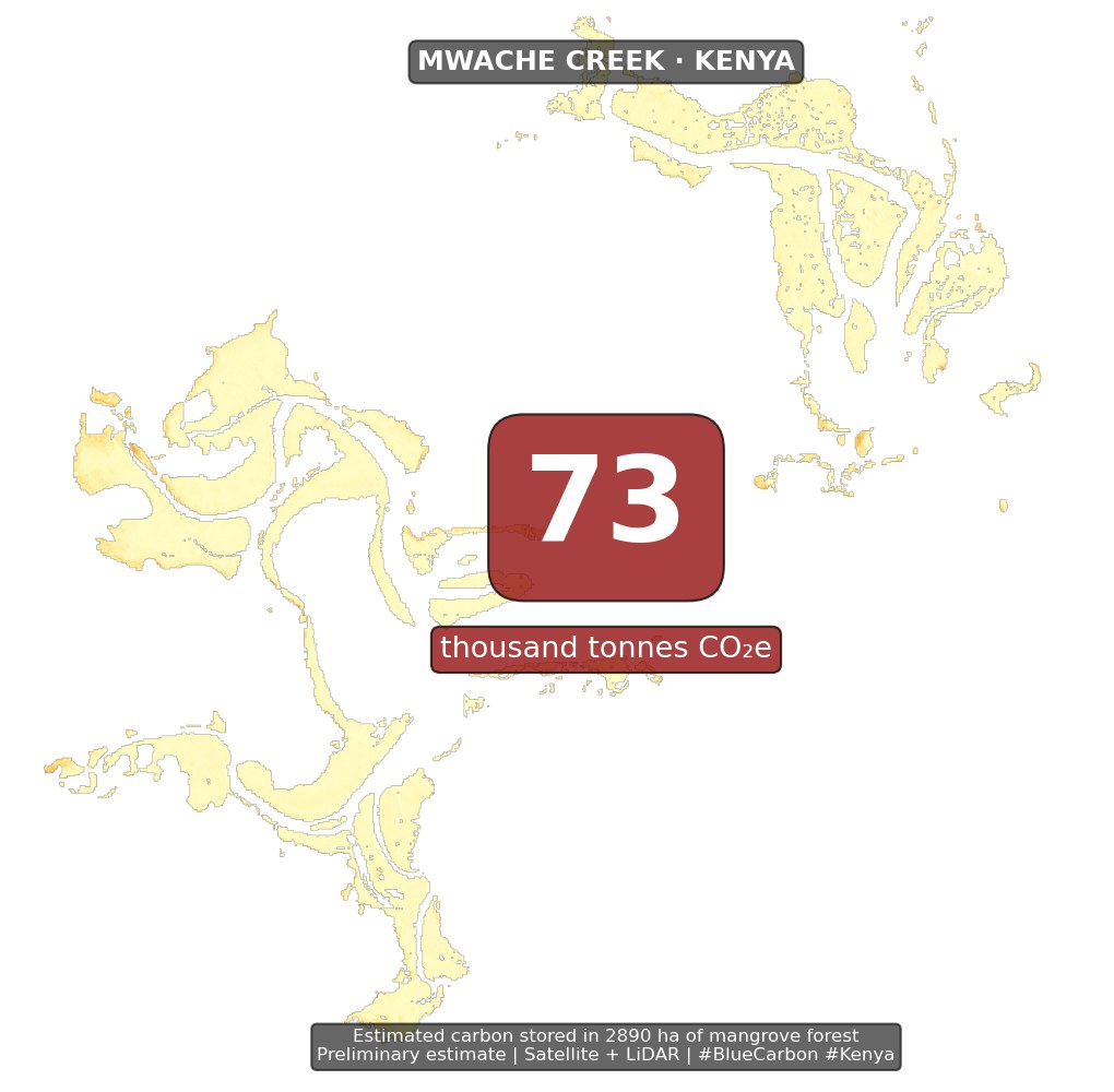
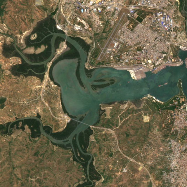
Coastal — Blue-BII. Above- and below-ground carbon across mangrove extents, from Sentinel-2 optical imagery, NASA GEDI spaceborne LiDAR and field allometry; and a biodiversity integrity index derived from below-water stereo-video, so that a mangrove’s ecological condition can be reported alongside the tonnes of CO2 it holds. Funded by KENET and by the AIMS Research and Innovation Centre with the Carnegie Corporation of New York.
Deep sea — Deep-BII. The same integrity approach below 200 m, developed with the Ocean Discovery League’s Western Indian Ocean cohort. Deep-sea habitats are the least surveyed and least protected part of the ocean, and the BBNJ Treaty creates an immediate need for methods that can assess them from sparse imagery.
SIEAL
Spatial Intelligence and Environmental Analytics Lab
Department of Geomatic Engineering & Geospatial Information Systems, JKUAT